收稿日期:2018-12-24
基金项目:国家重点研发计划课题(2017YFB0504104)和中国地震应急搜救中心青年科技基金项目(SJ1806)联合资助.
基金项目:国家重点研发计划课题(2017YFB0504104)和中国地震应急搜救中心青年科技基金项目(SJ1806)联合资助.
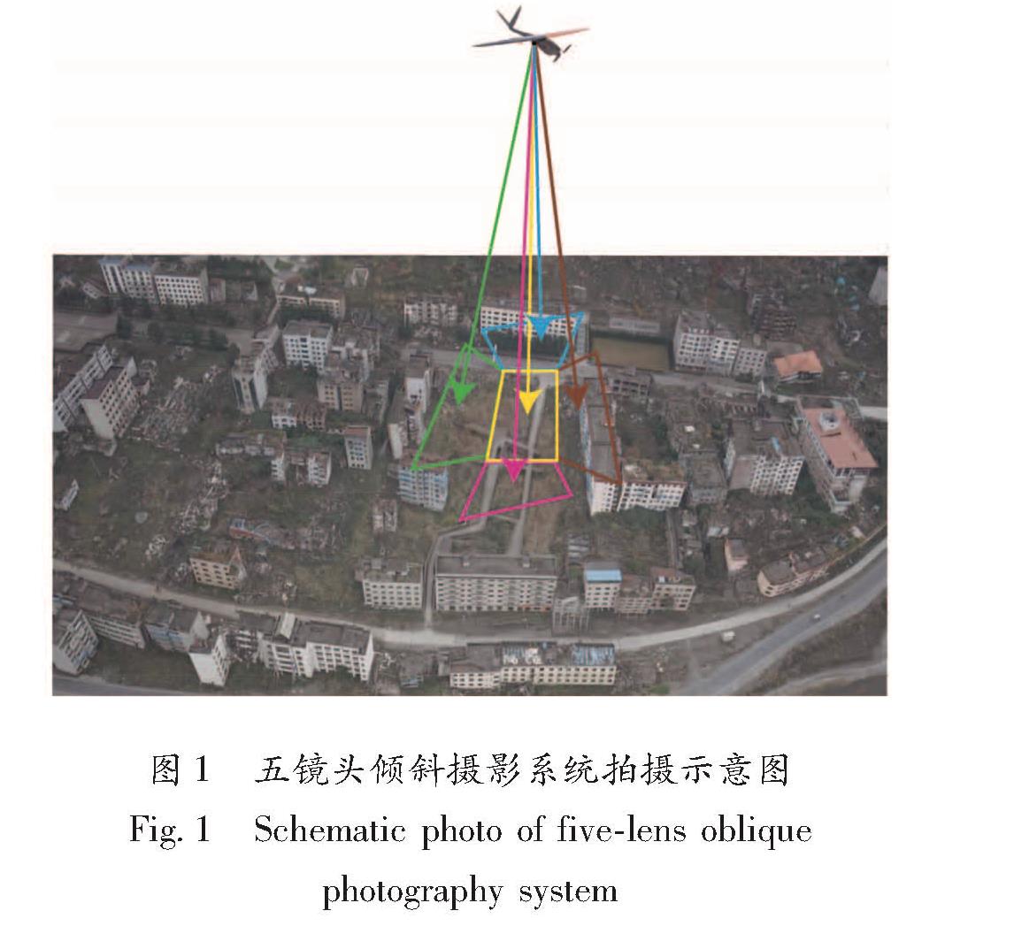
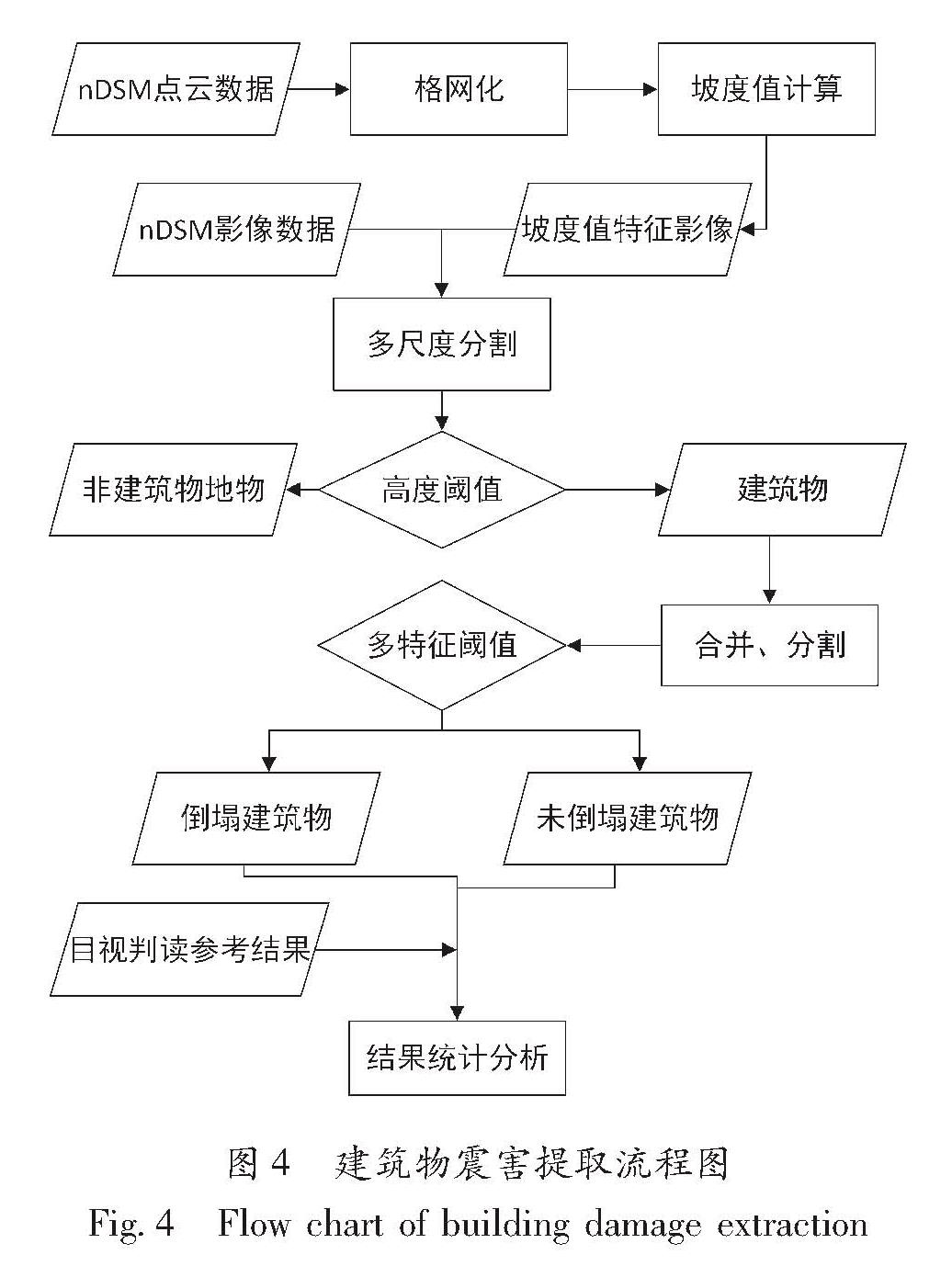
以北川老县城地震遗址为研究对象,通过使用点云CSF滤波算法得到研究区建筑物高度特征nDSM数据,并通过点云格网化处理以及坡度值计算得到建筑物坡度特征,再结合研究区DOM数据进行建筑物震害提取,实验结果表明该方法能够较好地提升建筑物震害的提取精度。
Taking earthquake sites in the old county town of Beichuan as research area,the nDSM data of the height information of the building. in the study area are obtained by using the point cloud CSF filtering algorithm. The slope characteristic of the building is obtained through the points cloud grid processing and the slope value calculation. Combine the DOM and nDSM and slope image of the research area,we extract the seismic damage of building through the object-oriented method. The results show that the method of combine DOM and height and slope information can improve the extraction the accuracy of building damage than only use DOM.